The first and only specialized land surveying suite built natively for macOS & Apple Silicon. No Windows, no Parallels, no Boot Camp, no emulators — just pure ARM64 performance on your Mac. A complete CAD surveyor plugin for iCADMac / IntelliCAD with worldwide EPSG support, contour generation, cadastral plots, deed mapping and more.
15+ specialized land surveying and topography commands for macOS, natively compiled for Apple Silicon. Contours, shapefiles, cadastral plots, satellite maps, EPSG coordinate systems and more.
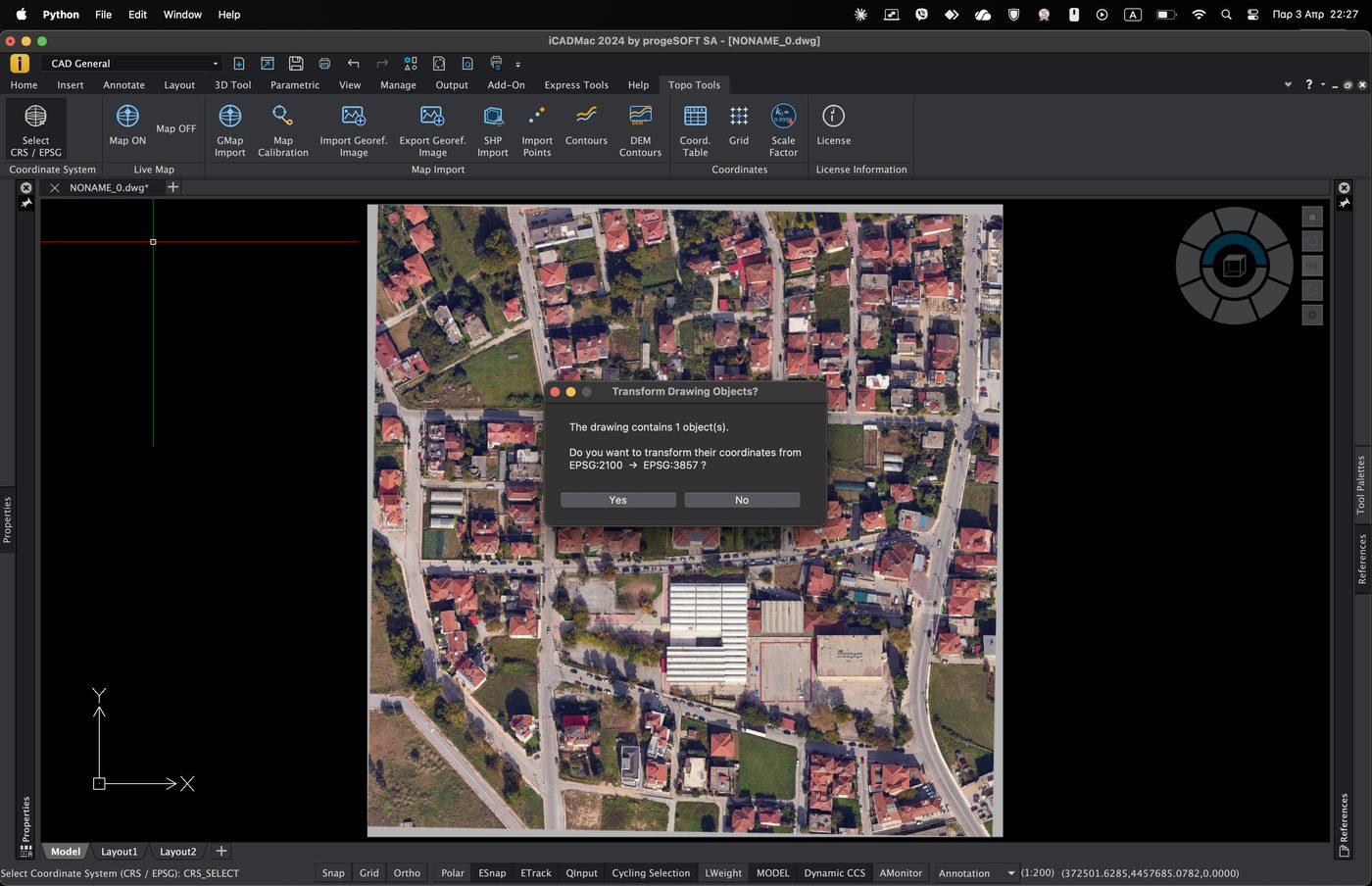
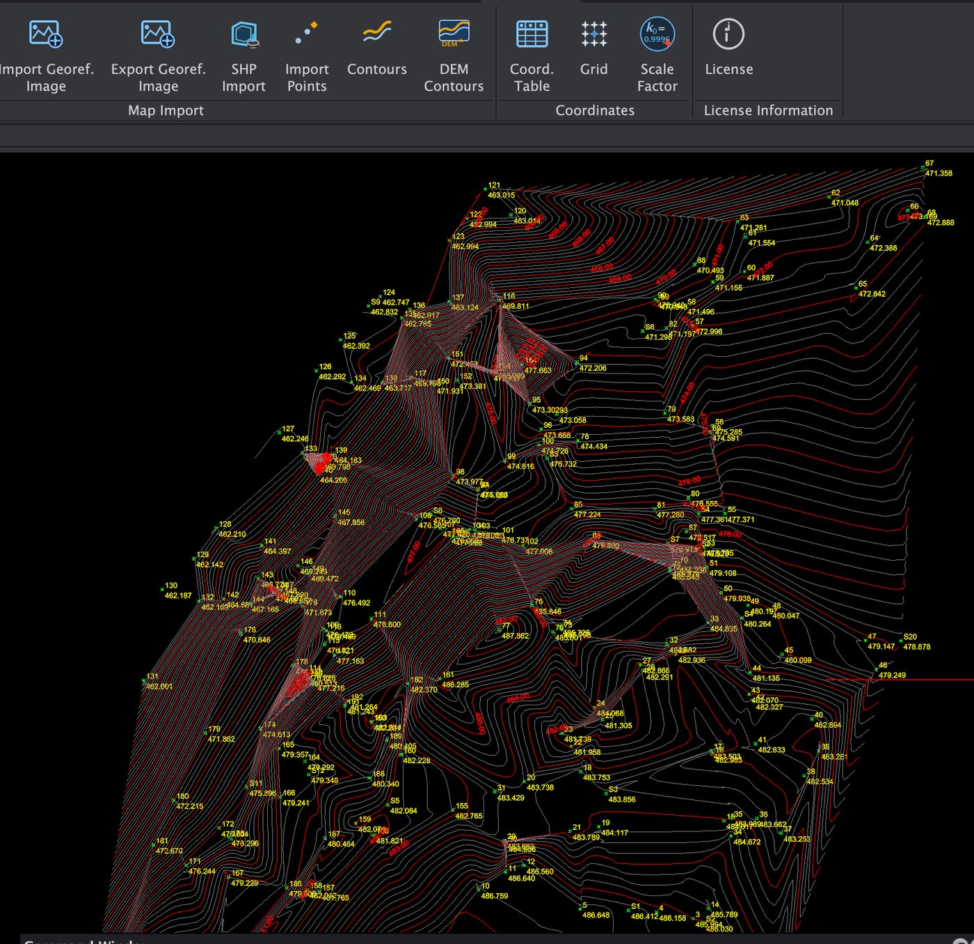
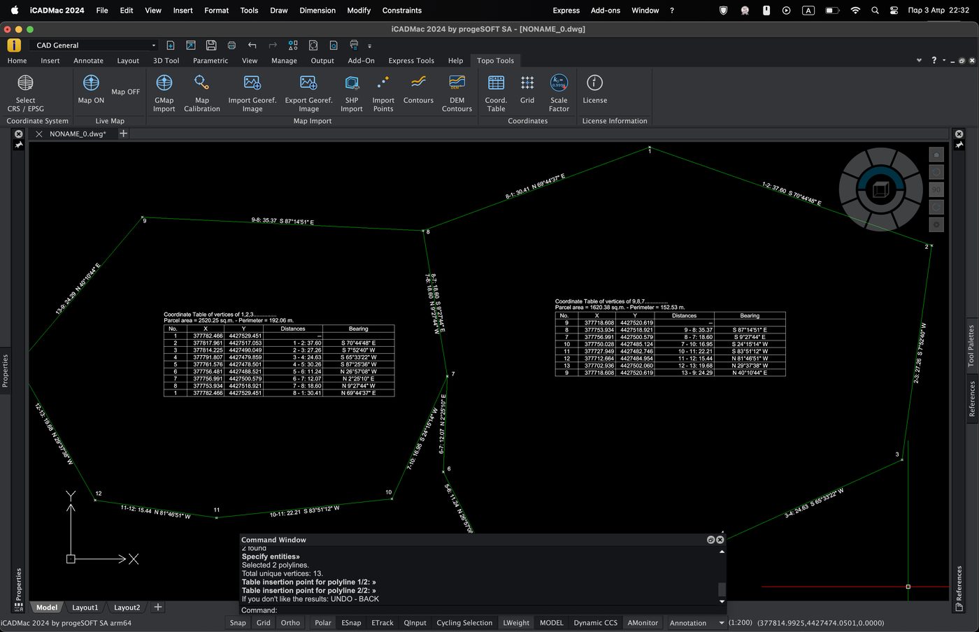
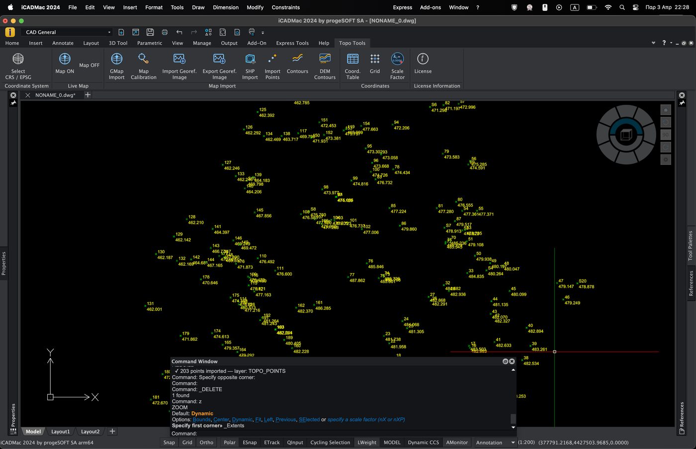
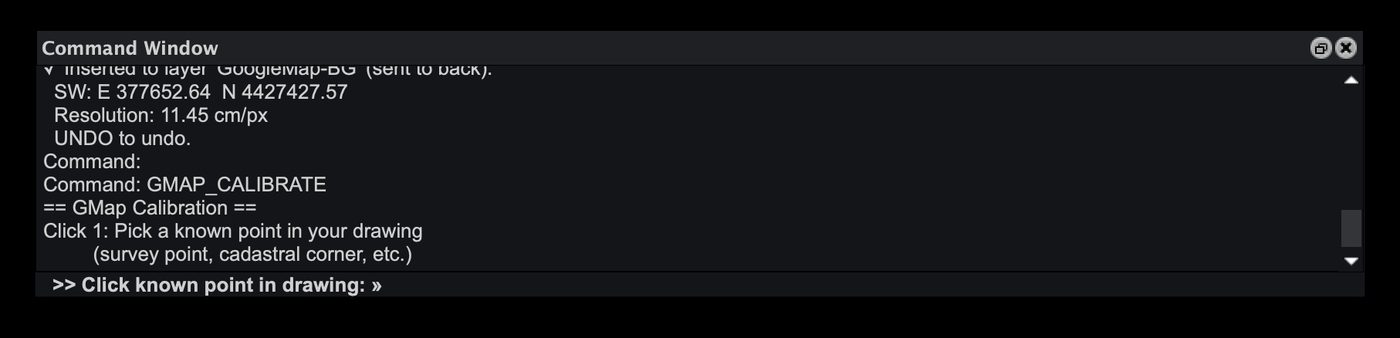
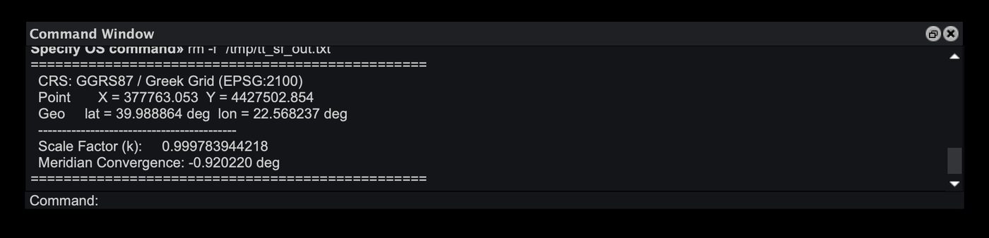
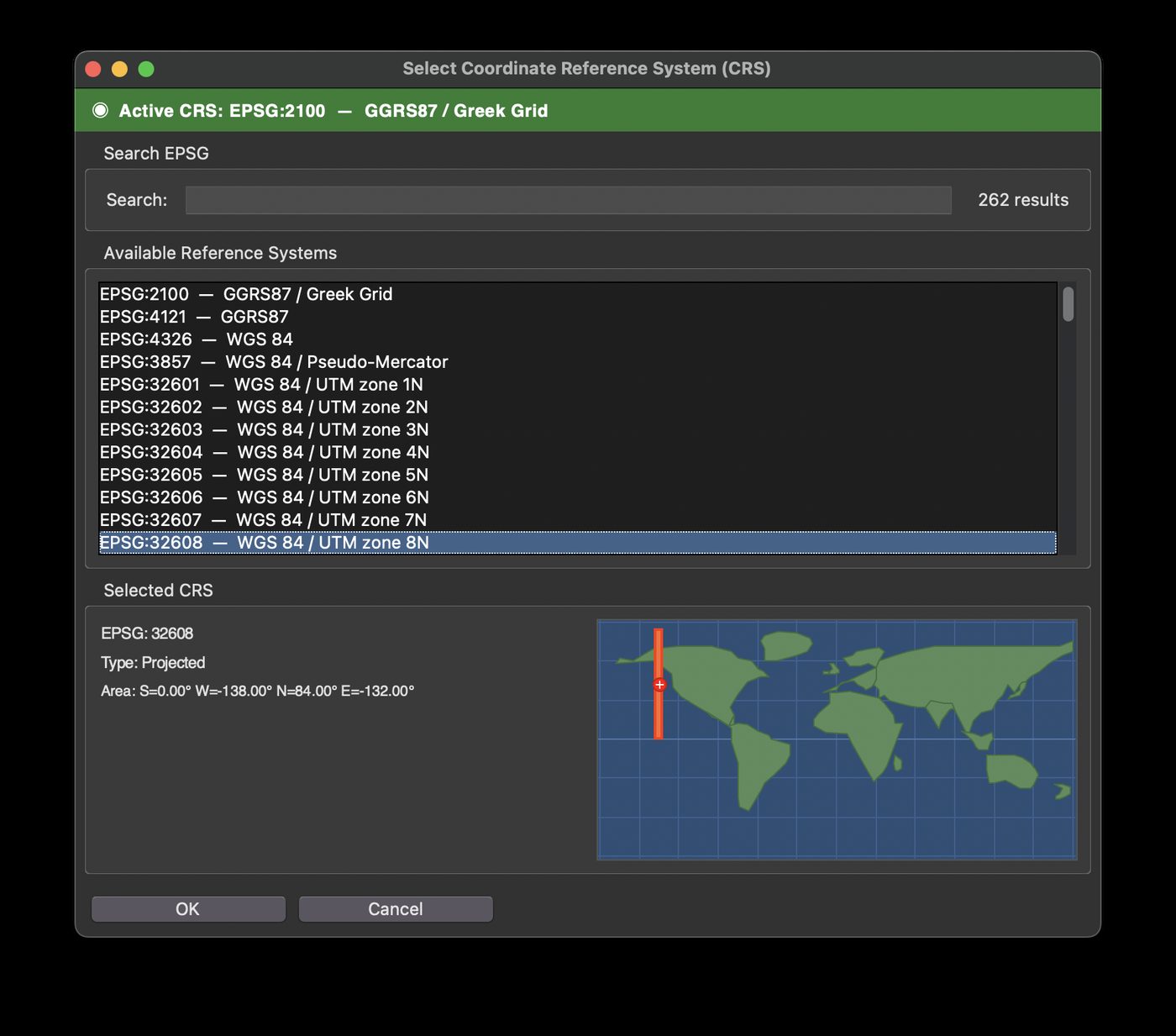
Real screenshots from Topo Tools running in iCADMac on macOS with Apple Silicon. Contours, coordinate tables, survey points, satellite maps and more.
topo_tools.lic within 24 hours.| CAD | iCADMac or IntelliCAD (macOS) |
| macOS | Monterey 12 or newer Apple Silicon (M1/M2/M3/M4) |
| Python | Python 3.9+Homebrew or system python3 |
| Packages | Pillow pyhankoAutomatic installation by installer |
| Network | Required for GMap, WMS. License works offline. |
| Architecture | Native ARM64 Apple Silicon only |
The installer automatically displays your Mac's Hardware UUID.
Send the UUID to the provider. No internet connection required during operation.
Receive the topo_tools.lic file — encrypted with HMAC-SHA256.
Copy the .lic to the Support folder. Each command automatically validates the license.
The first and only land surveying and topography command suite for macOS. 300+ EPSG coordinate systems, contours, shapefiles, cadastral plots, deed mapping and satellite maps. Get a license and transform your surveying workflow on Mac.
Topo Tools Mac is the world's first professional land surveying and topography plugin for macOS and Apple Silicon. Designed for land surveyors, surveying engineers, topographers and CAD professionals who work on Mac. Topo Tools integrates directly into iCADMac and IntelliCAD as a complete CAD surveying command suite — a true AutoCAD alternative for land surveying on Mac.
Key capabilities include: contour line generation from DEM files (GeoTIFF, ASC, BIL) and from survey points, ESRI shapefile import (.shp/.dbf), live satellite map streaming from Google Maps and OpenStreetMap, static satellite image import with automatic georeferencing, 300+ EPSG coordinate reference systems with one-click CRS transformation, survey point import from TXT/CSV, vertex coordinate table generation for cadastral plots and deed surveys with automatic area and perimeter calculation, scale factor and meridian convergence computation, georeferenced image import/export with world files, WMS server integration, and mapping grid creation.
Topo Tools Mac runs natively on Apple Silicon (M1, M2, M3, M4) as an ARM64 application — no Windows, no Parallels, no Boot Camp, no Rosetta, no emulators. Compatible with macOS Monterey, macOS Ventura, macOS Sonoma and macOS Sequoia. Ideal for professionals working with cadastral surveys, property boundary mapping, land plots, parcel surveys, deed documentation, topographic mapping, and geodetic coordinate transformations.